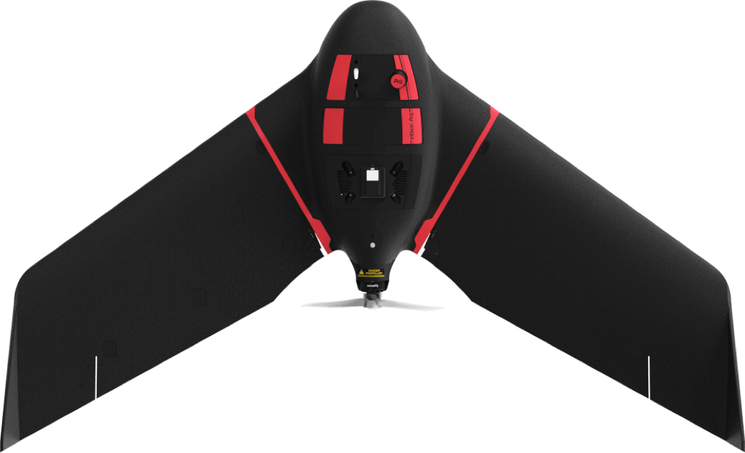
AgEagle eBee Ag
drone specifications datasheet
SHARE THIS PAGE
Looking to buy? Head to the Dronedesk Shop
Results
Ground Sampling Distance (GSD) at 122 m (400 ft)
RGB: 2.8 cm / 1.1 in per pixel. Multispectral: 11.5 cm / 4.5 in per pixel
Absolute horizontal/vertical accuracy (w/GCPs)
1 - 5 m / 3 - 16 ft
Lowest Ground Sampling Distance
1.1 cm / 0.4 in per pixel
Absolute X, Y, Z accuracy (RTK/PPK activated)
2.5 cm / 1 in on the S.O.D.A. with RTK
Hardware
Wingspan
116 cm / 45.7 in
Weight (incl. camera & battery)
N/A
Electric motor
Low-noise, brushless
Radio link range
3 km nominal (up to 8 km) / 1.9 mi (up to 5 mi)
Detachable wings
Yes
Cameras (supplied)
N/A
GNSS grade
Survey
Backpack (included with eBee X, eBee Geo, eBee Ag)
N/A
Backpack weight (empty)
4.6 kg / 8.8 lbs
Military standard case (included with eBee TAC)
75x48x33 cm / 30x19x13 in
Military standard transport (default for eBee TAC)
N/A
Software
Flight planning & control software (supplied)
eMotion
Automatic 3D flight planning
Included in eMotion
3D environment
Yes
Photogrammetry software (optional)
PIX4Dmapper, PIX4Dfields, Agisoft, Esri Drone2Map, DroneDeploy, Trimble Ag Software, Granular, Climate FieldView, My John Deere Operations Center, AGCO Fuse, SMS, xarvio, Gamaya, Agremo, Inforow
Vegetation index calculation (w/optional photogrammetry software)
Yes
CAD / GIS (optional)
--
Secure extension
No
Endurance extension available
No
Operation
Cruise speed
11-30 m/s (40-110 km/h or 25-68 mph)
Wind resistance
Up to 12.8 m/s (46 km/h or 28.6 mph)
Maximum flight time
Up to 55 minutes, depending on battery
Endurance extension available (fly more than 60 minutes)
No
Nominal coverage at 120 m (400 ft)
160 ha / ~395 ac with standard battery
Maximum coverage at 120 m (single flight)
200 ha / ~494 ac with endurance battery
Max. flight range
Standard: 30 km / ~19 mi. Endurance: 36 km / ~22 mi
Post-processed kinematic (PPK)
No
Real-Time Kinematic / Virtual Base Station
Yes
Real-Time Kinematic / Base Station Unknown point
Yes
Real-Time Kinematic / Base Station Known point
Yes
Ground control points (GCPs)
Not required
Oblique imagery
No
Hand launch
Yes
Landing
Automatic linear landing (5 m / 16.4 ft accuracy in 20° angle cone)
Data source:
Download options
You might want to check out the specifications of these other popular drone models
👋 Thanks for making use of the free tools we provide. Sorry to interrupt but while you're here...
Did you know that Dronedesk:
- Is the #1 user-rated drone operations management platform
- Includes automated DJI flight syncing in the PRO plan
- Reduces your flight planning time by over 65%
- Offers a free trial and a money back guarantee
But I wouldn't expect you to just take my word for it! Please check out our user reviews and our latest customer satisfaction survey.
🫵 A special offer just for you
As a thank you for using this service, I'd like to invite you to try out Dronedesk for FREE and get an exclusive 'service user' 10% discount on your first subscription payment on me!
I look forward to welcoming you on board!
-- Dorian
Founder & Director
This content was printed 22-Jul-26 03:37 and is Copyright 2026 Dronedesk.
All rights reserved.
Top
All rights reserved.