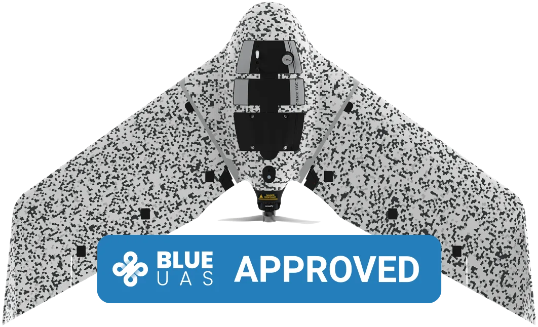
AgEagle eBee TAC
drone specifications datasheet
SHARE THIS PAGE
Looking to buy? Head to the Dronedesk Shop
Results
Ground Sampling Distance (GSD) at 122 m (400 ft)
2.5 cm / 1 in per pixel with Aeria X
Absolute horizontal/vertical accuracy (w/GCPs)
1 - 5 m / 3 - 16 ft
Lowest Ground Sampling Distance
1 cm / 0.4 in per pixel with Aeria X
Absolute X, Y, Z accuracy (RTK/PPK activated)
1.5 cm / 0.6 in
Hardware
Wingspan
116 cm / 45.7 in
Weight (incl. camera & battery)
N/A
Electric motor
Low-noise, brushless
Radio link range
3 km nominal (up to 8 km) / 1.9 mi (up to 5 mi)
Detachable wings
Yes
Cameras (supplied)
S.O.D.A. 3D, Aeria X, Duet T
GNSS grade
Survey
Backpack (included with eBee X, eBee Geo, eBee Ag)
N/A
Backpack weight (empty)
N/A
Military standard case (included with eBee TAC)
75x48x33 cm / 30x19x13 in
Military standard transport (default for eBee TAC)
N/A
Software
Flight planning & control software (supplied)
eMotion
Automatic 3D flight planning
Included in eMotion
3D environment
Yes
Photogrammetry software (optional)
PIX4Dmapper/PIX4Dmatic/PIX4Dcloud/PIX4Dreact/PIX4Dfields/PIX4Dsurvey, Agisoft Metashape, DroneDeploy, Bentley ContextCapture, SimActive, Esri ArcGIS Drone2Map and Trimble Business Center
Vegetation index calculation (w/optional photogrammetry software)
Yes
CAD / GIS (optional)
AutoCAD, ArcGIS, Trimble Business Center, Leica Geo Office, VAGNET Office Tools, ArcGIS, MicroStation and more
Secure extension
Yes
Endurance extension available
Yes, included
Operation
Cruise speed
11-30 m/s (40-110 km/h or 25-68 mph)
Wind resistance
Up to 12.8 m/s (46 km/h or 28.6 mph)
Maximum flight time
Up to 90 minutes, depending on camera and battery
Endurance extension available (fly more than 60 minutes)
Yes, included
Nominal coverage at 120 m (400 ft)
N/A
Maximum coverage at 120 m (single flight)
500 ha / ~1,250 ac, with S.O.D.A. 3D
Max. flight range
55 km / ~34 mi
Post-processed kinematic (PPK)
Yes
Real-Time Kinematic / Virtual Base Station
Yes
Real-Time Kinematic / Base Station Unknown point
Yes
Real-Time Kinematic / Base Station Known point
Yes
Ground control points (GCPs)
Not required
Oblique imagery
Yes, with S.O.D.A. 3D
Hand launch
Yes
Landing
Automatic linear landing (5 m / 16.4 ft accuracy in 20° angle cone)
Data source:
Download options
You might want to check out the specifications of these other popular drone models
👋 Thanks for making use of the free tools we provide. Sorry to interrupt but while you're here...
Did you know that Dronedesk:
- Is the #1 user-rated drone operations management platform
- Includes automated DJI flight syncing in the PRO plan
- Reduces your flight planning time by over 65%
- Offers a free trial and a money back guarantee
But I wouldn't expect you to just take my word for it! Please check out our user reviews and our latest customer satisfaction survey.
🫵 A special offer just for you
As a thank you for using this service, I'd like to invite you to try out Dronedesk for FREE and get an exclusive 'service user' 10% discount on your first subscription payment on me!
I look forward to welcoming you on board!
-- Dorian
Founder & Director
This content was printed 22-Jul-26 03:37 and is Copyright 2026 Dronedesk.
All rights reserved.
Top
All rights reserved.